
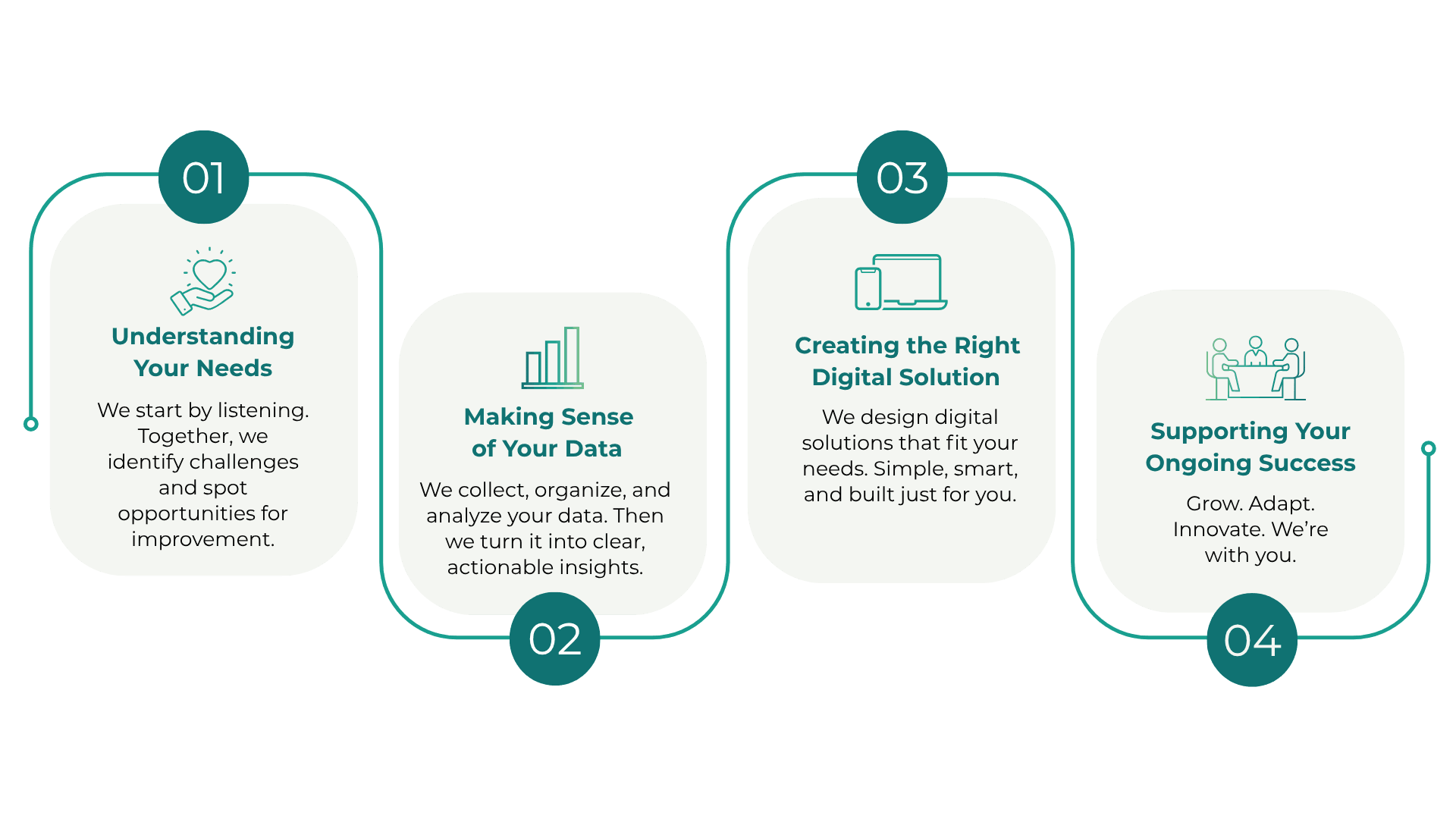


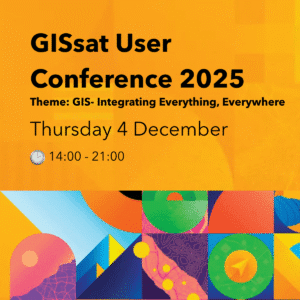
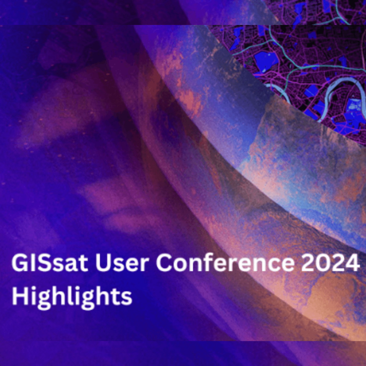
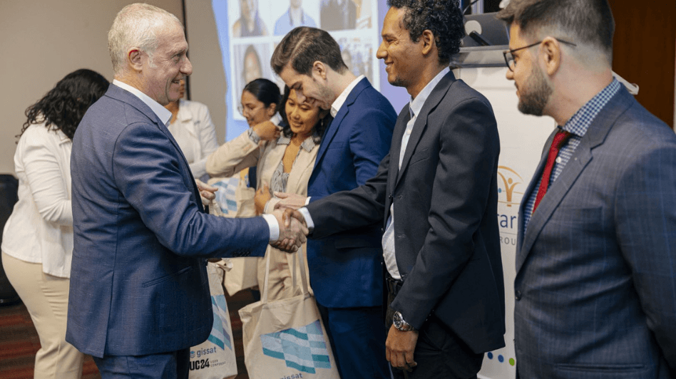
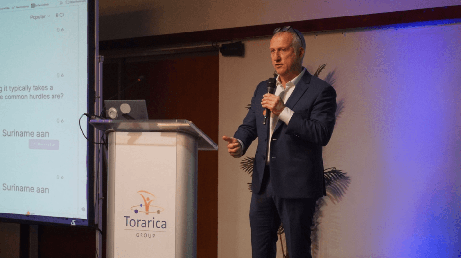
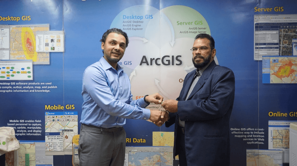
Save The Date! GISsat User Conference in Suriname
The largest GIS event in Suriname on Thursday 4 December at Royal Torarica. This year’s theme is GIS — Integrating Everything, Everywhere!
Standby for more information about our Speakers and Expo line up.
🌍 GIS — Integrating Everything, Everywhere
🗓️ Date: December 4, 2025 at 14:00SRT. Hosted in Suriname, Royal Torarica
✅ In-person event, registration details following soon.
Whether you’re in government, utilities, health, education, or environmental work—this is the one event that will shift your perspective on GIS and innovation.
Join to see how you can map the future! 🌱📍

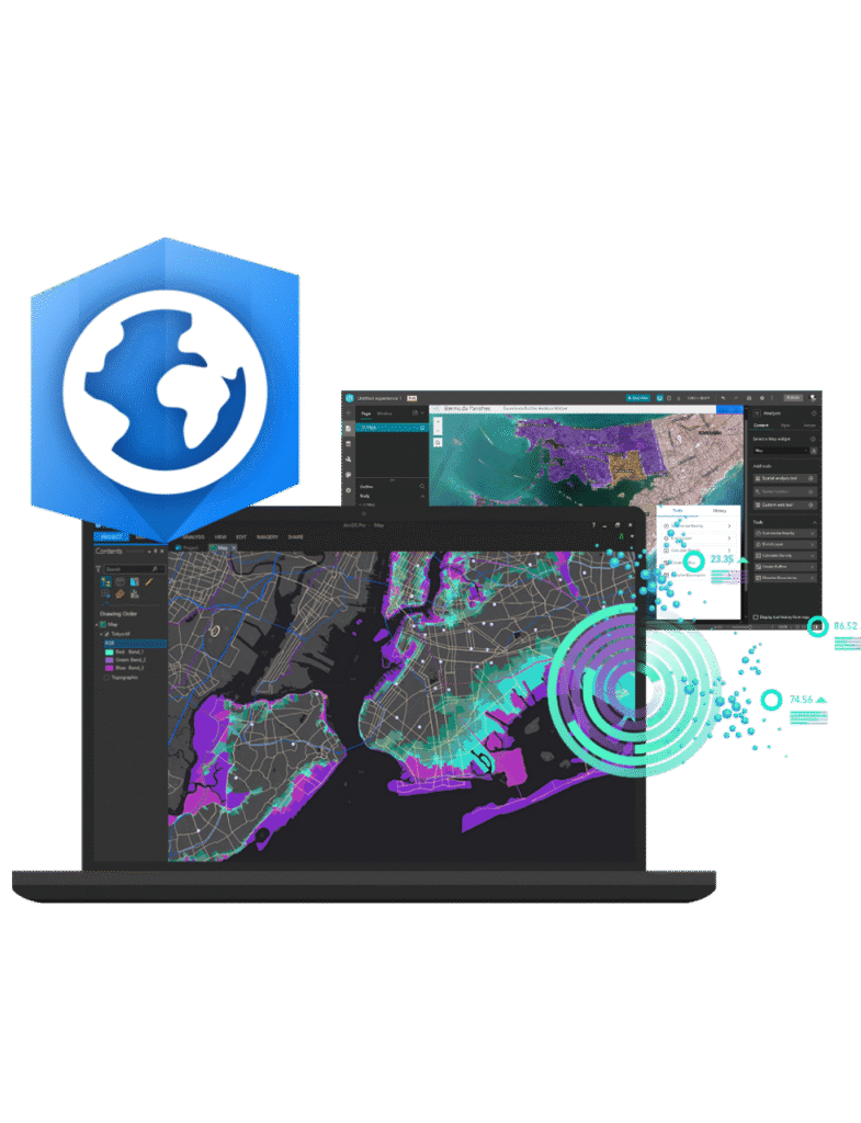
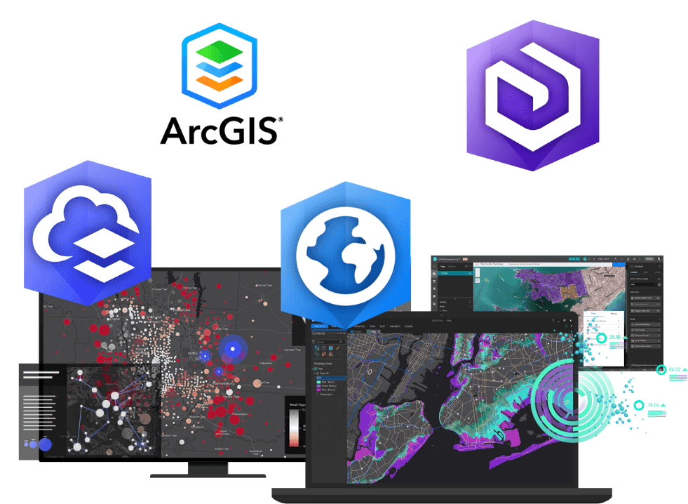
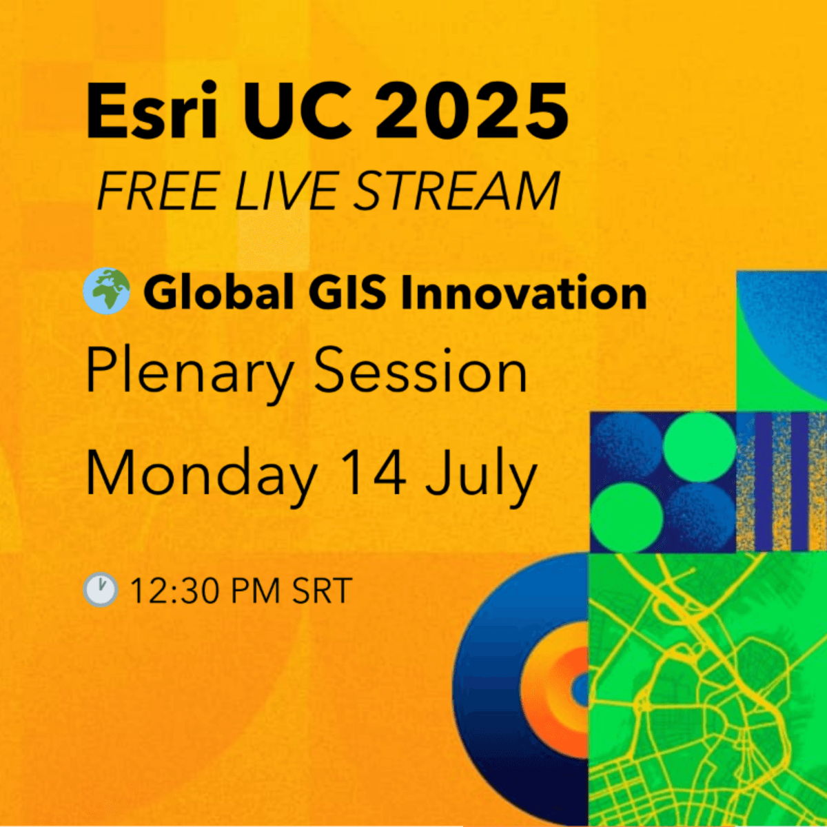
Esri User Conference is here!
Be inspired by Jack Dangermond, founder of Esri inc., as he opens the Esri User Conference 2025 with a powerful vision for the future of GIS, AI, and digital transformation.
🌍 The Plenary Session is free to stream—no cost, just register!
🗓️ Date: July 14, 2025 at 12:30SRT. Hosted in San Diego—join the livestream from Suriname!”
🎥 Digital Access to technical sessions and expo
✅ Register here
📘 Full agenda here
Whether you’re in government, utilities, health, education, or environmental work—this is the one event that will shift your perspective on GIS and innovation.
Join to see how you can map the future! 🌱📍

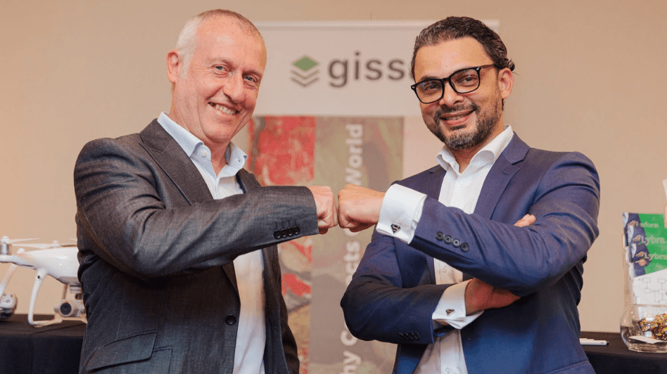
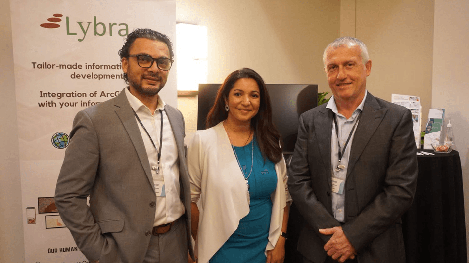
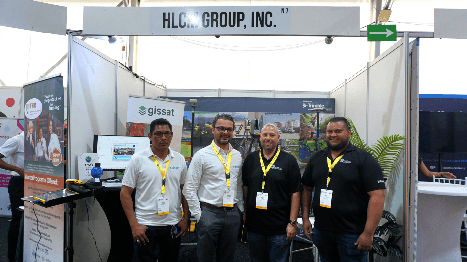
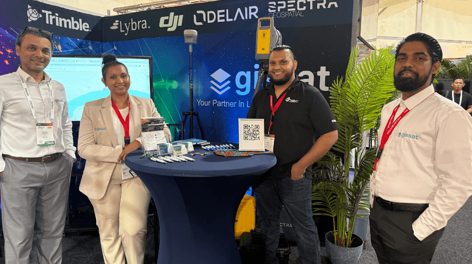
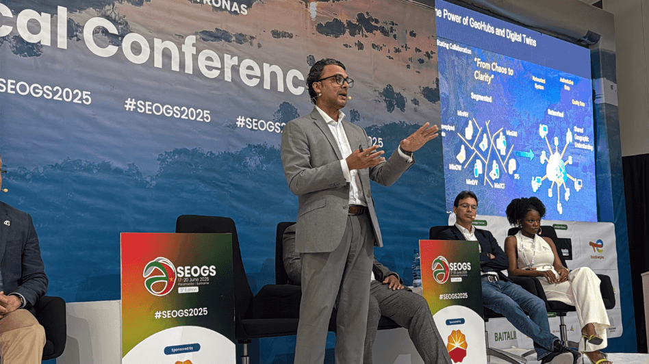
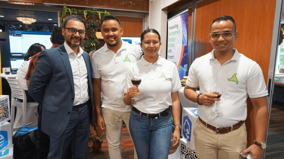
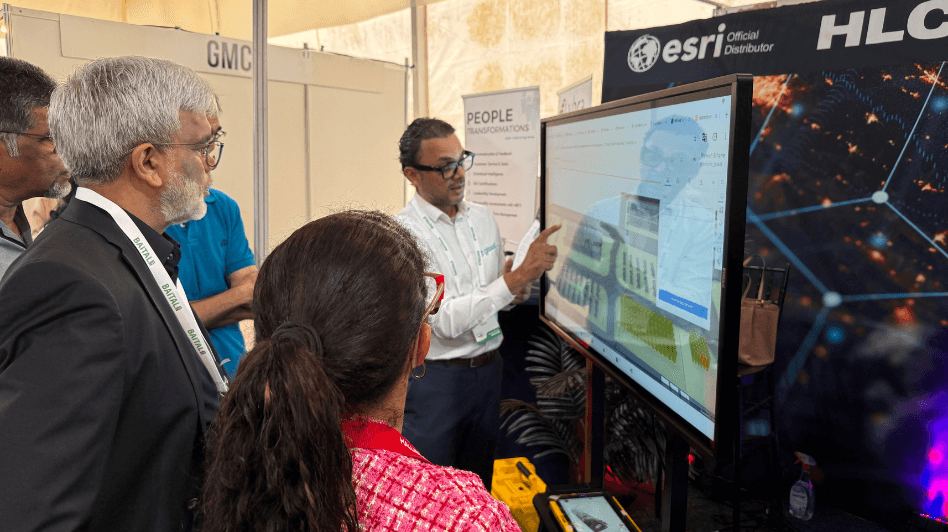
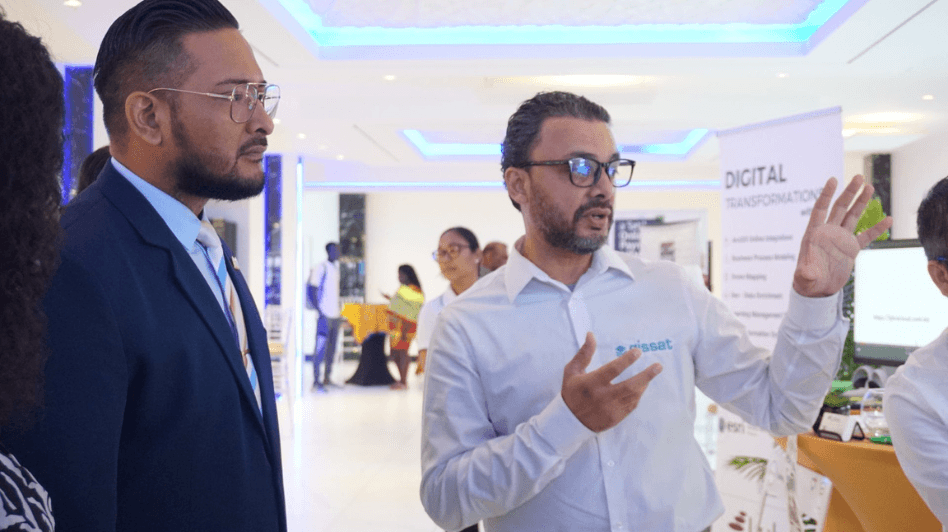
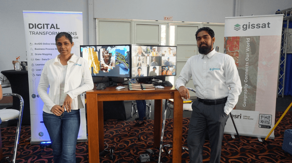
Join us at SEOGS 2025 Exhibition in Hall 2, F5
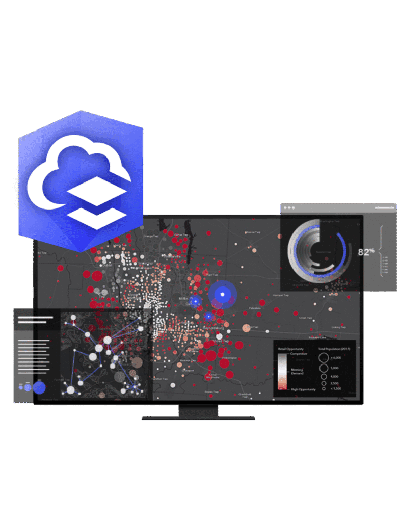
We’re excited to invite you to visit our booth at SEOGS 2025 Hall 2, F5, where you’ll find the latest geospatial solutions from industry leaders like Esri, Trimble, DJI, Yellow Scan, Spectra, and many more. Don’t miss this chance to explore cutting-edge mapping and surveying technologies, learn about best practices, and network with our expert team. For more details on the event and what’s in store, search the web for SEOGS 2025 F5—and be sure to stop by our booth to discover how our geospatial innovations can elevate your projects. See you there!


")

")