
Products
We proudly bring together world-class technologies and services through our network of trusted partners to deliver tailored, end-to-end geospatial solutions. All In One Place.
Benefits of Working With Us
GISsat is your full‑spectrum geospatial partner. We combine global‑class software, cutting edge hardware, specialized training, and strong local support.
As the official Esri distributor in Suriname and partner of HLCM Group Inc., we supply and support a wide array of technologies including GPS/GNSS systems, surveying tools, mobile mapping, LiDAR, UAV/drone mapping, precision agriculture, forensics, and more.
Local Expertise
We understand the unique geospatial challenges and opportunities in Suriname. Our local presence means faster support, regional insight, and solutions tailored to your environment.
Flexible Licensing
Access GIS and GNSS technologies on terms that fit your budget, project size, and organizational requirements—whether you're scaling up or just getting started.
End-to-End Support
From product selection to deployment and beyond, we provide guidance, configuration, and hands-on assistance every step of the way.
Trusted Partnerships
We work directly with leading technology providers, ensuring you benefit from the latest innovations.
Products Category
Through our partnerships with leading geospatial and positioning technology providers, we offer advanced solutions in mapping, data collection, and spatial analysis. All tailored with local expertise.
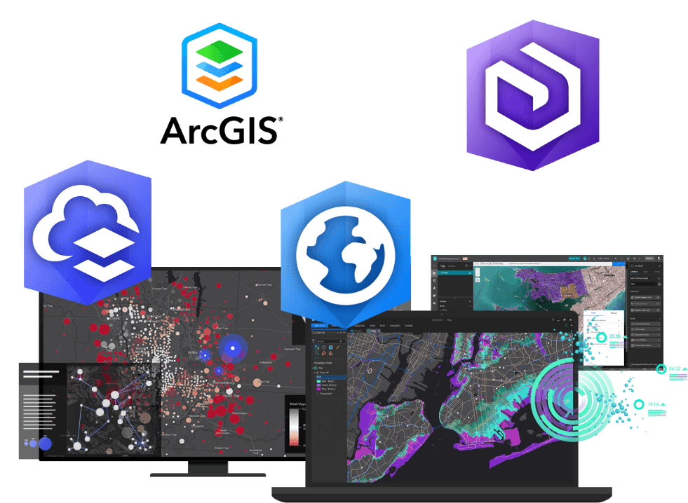
GIS solutions
Unlock the power of location intelligence with Esri’s industry-leading GIS technology. From desktop tools to cloud-based platforms, Esri’s ArcGIS suite empowers organizations to map, manage, analyze, and share geospatial data like never before. Whether you’re streamlining operations, enhancing decision-making, or engaging stakeholders with compelling visuals, our Esri-based solutions help you maximize the value of your spatial data.
Key Offerings:
- ArcGIS software implementation (Pro, Online, Enterprise)
- Smart mapping, real-time dashboards, and spatial analytics
- Field data collection with mobile GIS apps
- Enterprise GIS setup and Portal for ArcGIS configuration
- ArcGIS Online support and custom web mapping services
- Licensing guidance, localized support, and training programs
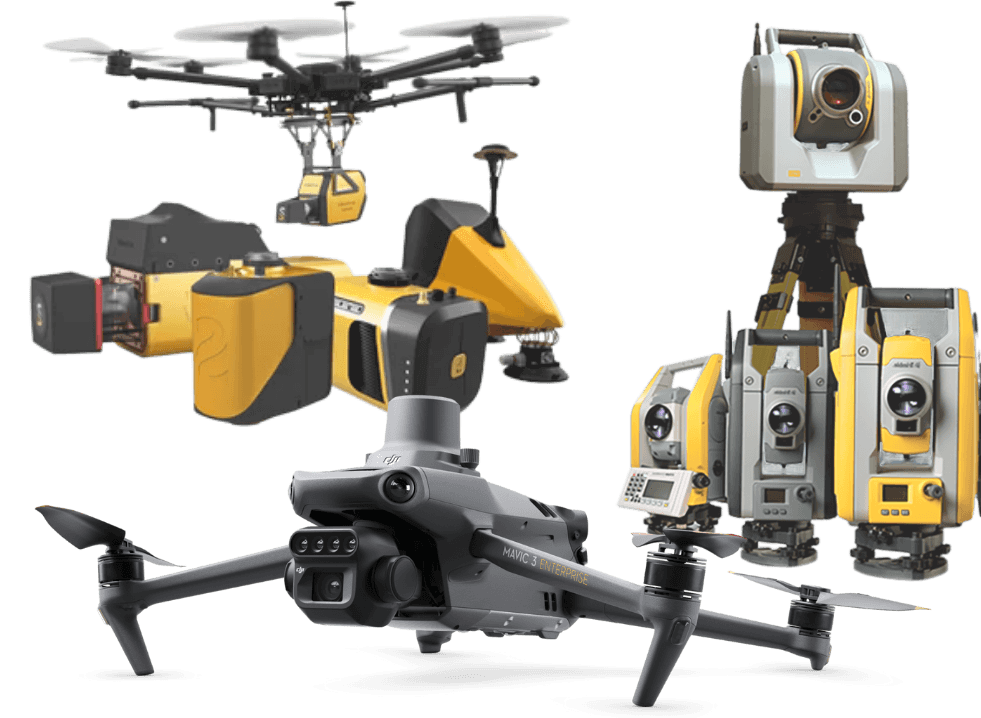
Geospatial solutions
Unlock the full potential of field operations with cutting-edge geospatial technology from global leaders like Trimble, Spectra Geospatial, DJI Enterprise, and YellowScan. Designed to deliver accuracy, efficiency, and reliability, these solutions empower professionals in surveying, construction, agriculture, infrastructure, and GIS to collect and manage spatial data with confidence—even in the most demanding environments.
Key Offerings:
- High-accuracy GNSS/RTK receivers and surveying equipment (Trimble, Spectra)
- Professional UAV platforms for mapping, inspection, and surveying (DJI Enterprise)
- Lightweight UAV LiDAR systems for precision aerial scanning (YellowScan)
- Total stations, 3D laser scanners, and mobile mapping systems
- Field software for real-time data collection, workflows, and GIS integration
- Trimble Catalyst – Cloud-connected GNSS-as-a-service with flexible subscription plans
- Certified training, workflow integration, and technical consultancy
- Support for system deployment, equipment servicing, and project lifecycle management
Digital Twin
Marlin is Merkator’s innovative digital twin platform for utility and telecom network management. Designed for clarity, collaboration, and control, Marlin provides a web-based, map-centric environment to visualize and manage underground infrastructure in real time. It helps organizations improve operational efficiency, ensure safe digging, and enhance coordination between stakeholders.
Key Offerings:
- Real-time digital twin of underground utility and telecom networks
- Smart excavation planning and permit coordination tools
- Seamless integration with GIS platforms and asset registries