
Why Choose ArcGIS?
GISsat proudly represents Esri, the global leader in Geographic Information System (GIS) technology. As the official Esri distributor in Suriname, we deliver the full suite of ArcGIS software, including licensing, implementation, integration, training, and local support.
Whether you’re managing critical infrastructure, planning urban development, monitoring the environment, or optimizing field operations, Esri’s platform provides powerful tools to help you make smarter, location-based decisions.
Enterprise-Ready
Scalable solutions for organizations of all sizes, from startups to global enterprises.
Cross-Platform Flexibility
Access your maps and spatial data whenever and wherever you need it. In the cloud, on the desktop, or in the field.
Actionable Intelligence
Integrate spatial insights seamlessly into your workflows for smarter, faster decision-making.
Innovation That Leads
Continuously evolving technology backed by decades of industry leadership and cutting-edge
Products
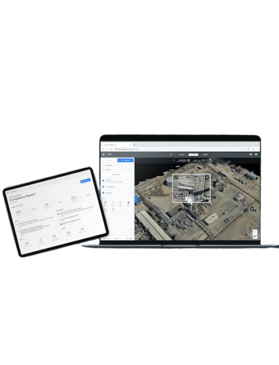
From cloud-based solutions and mobile field applications to advanced desktop GIS and enterprise-ready systems, ArcGIS offers flexible, scalable products tailored to meet your unique business objectives — no matter your size or sector.
Explore Our Core Offerings
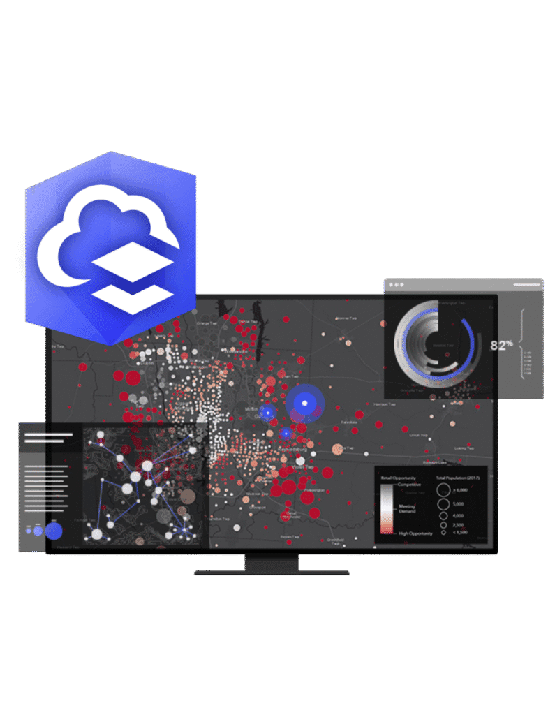
ArcGIS Online
ArcGIS Online is a secure and scalable software as a service (SaaS) platform for managing your geospatial workflows. Collect, analyze, and visualize data—then easily share interactive maps and apps across your organization. Collaborate in real-time and share insights with specific teams or a global audience.
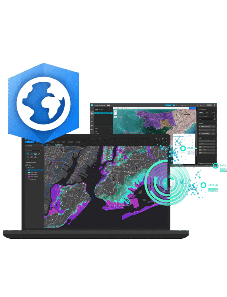
ArcGIS Pro
ArcGIS Pro is the premier desktop geographic information system (GIS) application. Crafted with user-driven innovations, it offers unparalleled tools and capabilities that support your work. Users can maintain spatial data effectively; generate stunning 2D, 3D, and 4D visualizations; and conduct advanced mapping analytics. The seamless data sharing within the ArcGIS system fosters valuable GIS solutions and insights.
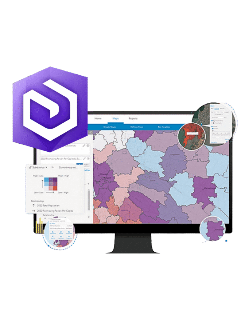
ArcGIS Enterprise
ArcGIS Enterprise is a powerful software that informs decision-making and transforms complex spatial analysis into easy-to-understand maps, apps, and content. With this comprehensive spatial analysis and data management system, you can integrate business systems for a holistic view of your operations and boost efficiency across your organization.
ArcGIS Overview
ArcGIS is a comprehensive geospatial platform for professionals and organizations. It is the leading geographic information system (GIS) technology.
Built by Esri, ArcGIS integrates and connects data through the context of geography. It provides world-leading capabilities for creating, managing, analyzing, mapping, and sharing all types of data.
Organizations that use ArcGIS to understand and analyze their data in geographic context have a distinct advantage and decision-making edge.
More Software Solutions
As an official distributor, GISsat provides full access to the following Esri products and services:
Core GIS Tools
- ArcGIS Pro – Advanced desktop GIS for mapping, editing, and 3D visualization
- ArcGIS Online – Cloud-based mapping and data analysis tools
- ArcGIS Enterprise – Full-featured GIS server environment
- ArcGIS Hub & Portal – Platforms for public engagement or internal collaboration
Field Operations & Mobile GIS
- ArcGIS Field Maps – Real-time mobile data collection
- Survey123 – Smart form-based surveys for field and inspections
- QuickCapture – One-tap field data collection
- Workforce, Tracker – Crew management and live location tracking
Web Mapping & Visualization
- ArcGIS Dashboards – Interactive dashboards for decision-making
- ArcGIS StoryMaps – Map-based storytelling for communication and outreach
- ArcGIS Experience Builder – Build responsive web apps without coding
Data & Analytics
- Spatial Analysis – Pattern detection, suitability modeling, predictive analytics
- Imagery & Remote Sensing – Drone, satellite, and aerial image processing
- LiDAR & 3D Mapping – Integration with point clouds and elevation models
- Real-Time & Big Data Analytics – Sensor data, feeds, and live maps
Developer Tools
- ArcGIS Platform
- Integration with open-source tools
Training & Support
GISsat provides tailored training and technical support to help your team build expertise in ArcGIS tools.

Coaching support
Invest in your workforce to promote optimal use and management of your ArcGIS platform.
We offer:
- Custom workshops for field teams, analysts, and decision-makers
- Local help desk, updates, and troubleshooting
- GIS project support and strategic planning
E-Learning
If you or your organization have an Esri-qualifying product with a current maintenance subscription, unlimited access to all of Esri's self-paced e-Learning resources is yours to enjoy—anytime from anywhere. It’s learning without limits.
Esri has developed and curated thousands of hours of content for everyone. Relevant training for your role is available whether you’re a student, educator, or professional. There are many ways to learn, with multiple options and formats to meet your needs and content for all stages along your learning journey to help you grow.
With that much content, it could be somewhat daunting to find the training you’re looking for, so we have compiled learning plans containing a list of carefully selected courses to help you reach a specific goal.
If you purchased your own Esri-qualifying product, your access to e-Learning is automatic. Simply find e-Learning that meets your needs in the catalog, and sign in with your Esri Account to immediately start learning.
If you are a member of an organization that has an Esri-qualifying product, you need an Esri Account that is connected to your organization.


Training
Strengthen your team’s technical capabilities with our expert-led training programs.
Our ArcGIS courses are thoughtfully structured across multiple difficulty levels to develop and enhance the GIS skills of both beginners and experienced professionals. Delivered by our trusted partner LYBRA, these certified trainings help ensure your team is fully equipped to work efficiently and confidently with spatial data in real-world scenarios.
Training is available in the following formats:
- On-site at your location
- Online (virtual sessions)
- At our modern training facility in Suriname
FAQ
Do I need an Esri license to use ArcGIS ?
Yes. ArcGIS products require a valid Esri license tied to a subscription or organization account. But the good news is: GISsat is an authorized Esri distributor, so we can help you choose the right license, set it up, and provide local support along the way. Whether you need a personal license, a team deployment, or an enterprise solution, we’ll make it simple.
What Esri apps are available for mobile or web use?
Your ArcGIS subscription gives you access to Esri’s powerful cloud-based tools like ArcGIS Online, plus a set number of user accounts, cloud credits, and apps based on your plan. It typically includes web mapping tools, collaboration features, data hosting, secure sharing, and access to apps like Dashboards, Survey123, and Field Maps. Subscriptions also come with updates, maintenance, and support from GISsat and Esri’s global team.
Can I use ArcGIS without internet access or in remote areas?
Yes, you can! Many ArcGIS tools support offline workflows—perfect for use in the field or in areas with limited connectivity. For example, ArcGIS Pro and Field Maps allow you to download maps in advance and collect data offline, then sync later when you’re back online. If you'd like help setting up offline maps, our team is here to guide you.
What's included in an ArcGIS software subscription?
Esri offers a wide range of mobile and web apps to match your workflow. Some popular ones include:
- Survey123 – Smart forms and surveys
- Field Maps – Collect, view, and edit data in the field
- Collector (now integrated with Field Maps) – Field data collection
- QuickCapture – Fast, one-tap data collection
- ArcGIS Dashboards – Real-time data visualization
- StoryMaps – Tell interactive stories with maps and media
- ArcGIS Online – Web-based GIS for mapping and analysis
These apps are available on iOS, Android, and the web, with many supporting both online and offline use.
Do I need a license for each app (like Survey123 or Dashboards)?
Most Esri apps like Survey123, Field Maps, Dashboards, and StoryMaps are included as part of your ArcGIS Online or ArcGIS Enterprise user license. You don’t need a separate license for each app. Instead, features and access depend on your user type (e.g., Creator, Viewer, Field Worker). If you're unsure what level you need, we're happy to help you choose the right fit!
Happy Clients
Get Started
Get started with ArcGIS
Request a product
Discover the right tools for your geospatial mission