Accelerate geospatial insights
ArcGIS Online is a secure and scalable software as a service (SaaS) for your geospatial workflows. Improve decision-making by collecting and managing data, analyzing it, and easily sharing maps and apps within a connected and collaborative web geographic information system (GIS).
Enterprise-Ready
Scalable solutions for organizations of all sizes, from startups to global enterprises.
Cross-Platform Flexibility
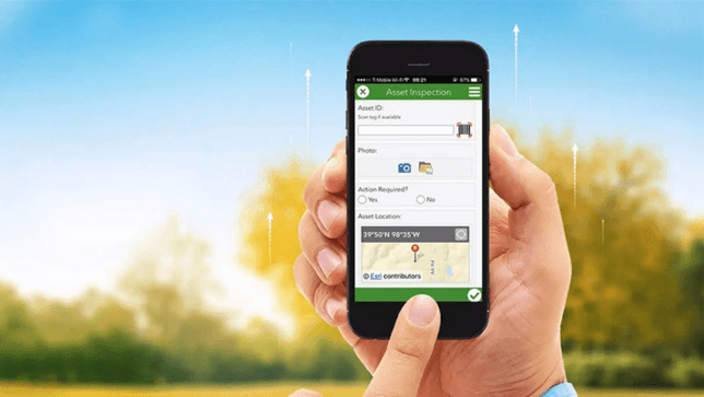
Access your maps and spatial data whenever and wherever you need it — in the cloud, on the desktop, or in the field.
Actionable Intelligence
Integrate spatial insights seamlessly into your workflows for smarter, faster decision-making.
Innovation That Leads
Continuously evolving technology backed by decades of industry leadership and cutting-edge
Apps for everyone
Field workers, managers, customers, entrepreneurs, citizens, so many people want location-based information. ArcGIS Online offers mapping applications and tools that make it easy to share your work. You also get application developers so you can create your own applications.

Secured
ArcGIS Online is designed as a secure system with controlled access. You can always access up-to-date information about security, privacy, and compliance information, as well as updates and alerts, best practices, system availability, and event history.
Explore Suriname’s Living Atlas
Explore a rich collection of thematic layers, maps, and curated datasets that bring Suriname’s geography, environment, and society to life. Powered by the ArcGIS Living Atlas of the World, this open data platform offers an ever-growing library of insightful content ready to support your analysis, storytelling, and decision-making.
Whether you’re using ArcGIS Online, ArcGIS Pro, or other Esri apps, these authoritative layers integrate seamlessly—so you can visualize and work with Suriname’s data in powerful new ways.

Empowering organizations across all industries
Apps provide simple access to information and tools for you to collect data and help your users understand your data. We recommend exploring the apps below for helping engage around specific goals and initiatives.

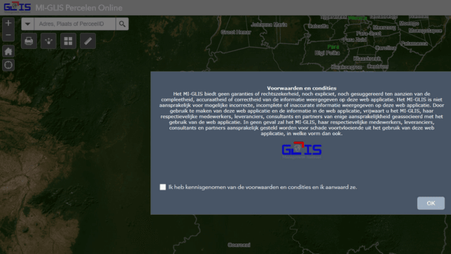
MI-GLIS Percelen Online
MI-GLIS Percelen Online provides national data on parcels in Suriname.

Suriname Online
A GeoPortal hosting various spatial data of Suriname.

Ministry Public Works Geo Portal
Various maps of the Ministry of Public Works.
Get Started
Get started with ArcGIS
Request a product
Discover the right tools for your geospatial mission

