Transform workflows with location intelligence
ArcGIS Enterprise is a powerful software that informs decision-making and transforms complex spatial analysis into easy-to-understand maps, apps, and content. With this comprehensive spatial analysis and data management system, you can integrate business systems for a holistic view of your operations and boost efficiency across your organization.
Highly configurable
Pick a cloud or on-site setup, then set up automation, backups, and user access for your business.
Interoperable
Connect to top cloud services to streamline work and see all your data in one place.
Scalable
Create a geospatial system you can grow over time with more users, features, and apps—no need for extra tools.
Secure and compliant
Set up your system to meet compliance rules, stay behind your firewall, and securely access your data.
Enterprise GIS on infrastructure you control
Discover how ArcGIS Enterprise accelerates decision-making and innovation for organizations across industries.
What can you do with ArcGIS Enterprise?

Data management
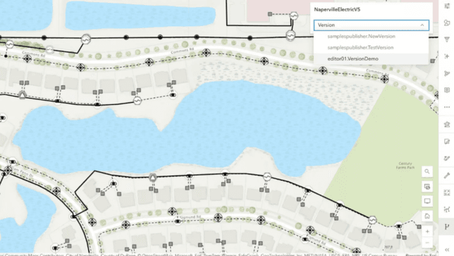
Break down silos and improve efficiency across your organization with an authoritative system of record. Centralize data in ArcGIS Enterprise from multiple sources, and manage access with existing IT-managed identity stores. Keep data current with real-time data editing tools and the ability to operate in disconnected environments.
Mapping, visualization, and analysis
Create custom maps and data visualizations with advanced spatial analysis tools that reveal patterns and provide situational awareness in real time. Expand the reach of your geospatial content with a suite of ready-to-use apps included with ArcGIS Enterprise, designed to transform robust spatial analysis into easy-to-understand insights and content.
Sharing and collaboration
Seamlessly share maps and spatial datasets both internally and externally. Create secure groups to collaborate within your organization, trusted partner organizations, and even crowdsource information from the public with integrated applications made for data collection and collaboration.
Customization and automation
Enhance organizational efficiency with trusted developer technology that helps you reduce errors and automate common tasks. Build innovative machine learning workflows using spatial tools and open-source libraries to boost the efficiency and reliability of your workflows.

Secured
ArcGIS Online is designed as a secure system with controlled access. You can always access up-to-date information about security, privacy, and compliance information, as well as updates and alerts, best practices, system availability, and event history.
Explore Suriname’s Living Atlas
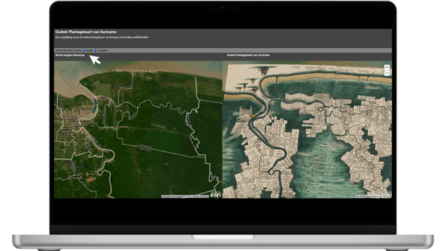
Explore a rich collection of thematic layers, maps, and curated datasets that bring Suriname’s geography, environment, and society to life. Powered by the ArcGIS Living Atlas of the World, this open data platform offers an ever-growing library of insightful content ready to support your analysis, storytelling, and decision-making.
Whether you’re using ArcGIS Online, ArcGIS Pro, or other Esri apps, these authoritative layers integrate seamlessly—so you can visualize and work with Suriname’s data in powerful new ways.

Real-world challenges need real-world solutions
Explore how ArcGIS Enterprise helps organizations across various industries drive successful outcomes with location intelligence.

US Forest Service
Cloud-native GIS helps federal agencies host and share imagery at massive scale with high availability.

Three Rivers Park District
Three Rivers Park District embraces modern solutions to enhance collaboration beyond the GIS department.

Dublin Airport
Digital transformation of data workflows helps the Dublin Airport modernize asset management.
Get Started
Get started with ArcGIS
Request a product
Discover the right tools for your geospatial mission

