
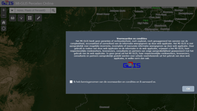
MI-GLIS Percelen Online
MI-GLIS Percelen Online provides national data on parcels in Suriname.

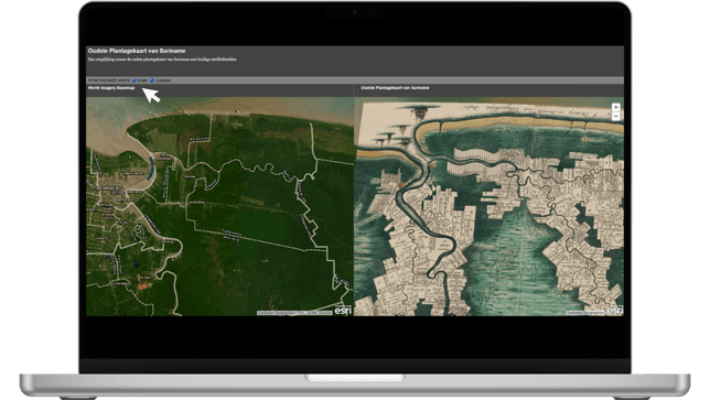
Suriname Online
A GeoPortal hosting various spatial data of Suriname.

Ministry Public Works Geo Portal
Various maps of the Ministry of Public Works.

MI-GLIS Percelen Online provides national data on parcels in Suriname.
A GeoPortal hosting various spatial data of Suriname.
Various maps of the Ministry of Public Works.