
— 5ᵗʰ Annual Suriname’s largest GIS conference
GISsat User Conference 2026
December 1st, 2026 | Royal Ballroom Torarica
GIS-Creating a more intelligent world
🟢 27 people already registered
This year’s theme: GIS-Creating a more intelligent world
This year's theme is:
GIS – Integrating Everything, Everywhere
Bringing Domains Together Through GIS
Special Interest Group
Attending a special interest group meeting (SIG) at the GISsat User Conference is the perfect way to connect in person with like-minded peers. These sessions are focused on discussions and sharing best practices with GIS professionals who work in the same industry or do similar workflows.
Showcase Expo Island
In the business showcase expo island, you will find demo kiosks with representatives from industries such as Natural Resources, Utility, Surveying, Environmental, Infrastructure and more.
TechExpo sessions
Attend Tech sessions on ArcGIS Experience Builder, ArcGIS Hub, and ArcGIS FlightPlan. Discover the latest tools and see how these technologies can elevate your geospatial projects. Don’t miss out on these must-attend demos!
Networking & Business Socializing
Connect with like-minded business professionals who are working in GIS within their business sector.
Special Interest Group
Connect with GIS Professionals Who Share Your Workflows
Attending a Special Interest Group meeting (SIG) at the GISsat User Conference is the perfect way to connect in person with like-minded peers. These sessions focus on discussions and sharing best practices with GIS professionals who work in the same industry or do similar workflows.
Showcase Expo Island - Coming Soon
Explore Industry Solutions Across Every Sector
In the business showcase expo island, you will find demo kiosks with representatives from industries such as Natural Resources, Utility, Surveying, Environmental, Infrastructure, and more. Engage directly with experts and see how GIS is transforming every domain.
TechExpo Sessions - Coming soon
Deep Dives on ArcGIS Experience Builder, Hub & FlightPlan
Attend technical sessions on ArcGIS Experience Builder, ArcGIS Hub, and ArcGIS FlightPlan. Discover the latest tools and see how these technologies can elevate your geospatial projects. Don't miss out on these must-attend demos.
Networking & Business Socializing
Build Partnerships with Suriname's GIS Community
Connect with like-minded business professionals working in GIS within your sector. Share ideas, build partnerships, and spark conversations that can transform your work and career — all in one day at Royal Ballroom Torarica.
2026 Agenda - To be confirmed
The sessions below reflect last year's programme. The 2026 agenda is being finalised, check back soon for confirmed timings and speakers.
Agenda 2025
A full day of insights, demos, and connections. The detailed agenda will be completed and shared with you as we get closer to the event.
13:00 – 14:00 | Walk-in, Coffee & Tea
Arrive, settle in, and connect with fellow attendees.
14:00 – 16:30 | Opening & Part 1: Special Interest Group (SIG) Presentations
Keynotes open the conference, followed by SIG sessions connecting GIS professionals across industries.
16:30 – 17:00 | Coffee, Tea & Snack Break
Recharge and mingle with speakers and fellow GIS professionals.
17:00 – 18:00 | Part 2: Technical Presentation
Deep-dive sessions on ArcGIS Experience Builder, ArcGIS Hub, and ArcGIS FlightPlan.
18:00 – 18:30 | Panel Discussion & Q&A
Open forum with speakers and industry leaders.
18:30 – 19:30 | Tech Expo Focus
Visit all booths showcasing GIS work. All visitors are encouraged to explore each exhibitor.
19:30 – 21:00 | Networking & Closure
Wind down, exchange contacts, and celebrate Suriname’s vibrant GIS community.
Featured Speakers
Industry leaders sharing their vision on the future of GIS in Suriname and beyond.
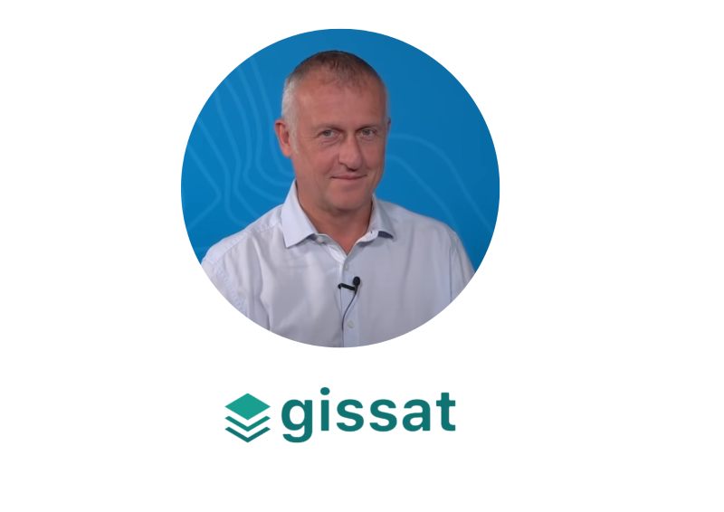
Stef de Ridder
CEO at GISsat N.V.
Stef de Ridder has been a pioneer in Suriname's GIS industry for over 30 years. With a background in Engineering, Spatial Planning, and Land Surveying, he has dedicated his career to building the foundation of geospatial innovation in the region. Since his early work at the Anton de Kom University of Suriname in the 1990s, Stef has been instrumental in cultivating a vibrant GIS ecosystem.
Stef de Ridder
CEO at GISsat N.V.
In his keynote, “GIS – Driving Business in Suriname.”, Stef will explore how geospatial technology is evolving beyond mapping into intelligent systems that drive decision-making to grow our business and to boost national development.
Stef de Ridder
CEO at GISsat N.V.
Keynote
Ir. Stephen T.K.W. Tsang
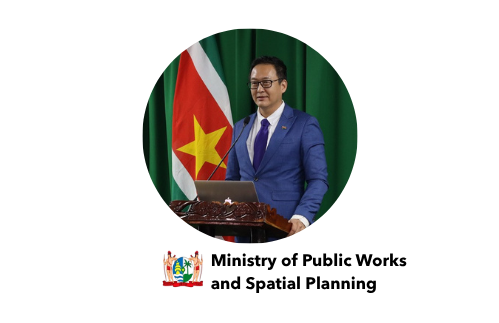
Surinamese engineer, policymaker, and public servant currently serving as Minister of Public Works and Spatial Planning of the Republic of Suriname.
An aerospace engineer by training, he graduated from the Delft University of Technology in the Netherlands. Mr. Tsang previously served as Minister of Trade, Industry and Tourism and as a Member of the National Assembly of Suriname. Before entering public office, he built an international career in software engineering and technology consulting. Mr. Tsang has been awarded prestigious Surinamese state honors, including Commander in the Honorary Order of the Palm and Grand Officer in the Honorary Order of the Ye low Star, recognizing his contributions to the nation. He is fluent in Dutch, English, and Sranan Tongo, and also speaks Cantonese, Hakka, and Mandarin, with basic knowledge of Spanish
Ir. Stephen T.K.W. Tsang
Minister of Public Works and Spatial Planning of the Republic of Suriname
Minister Tsang leads the ministry that is, more than any other, a ministry of the map: roads, drainage, flood protection, building and subdivision permits, and spatial planning. In his keynote he will set out Suriname’s spatial-planning and infrastructure priorities and the role of shared, reliable spatial data in moving spatial planning from vision to execution. He will also formally receive the spatial results of the GeoGov Suriname initiative on behalf of the Government.
Patrick Loys Brunings
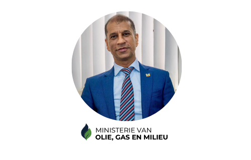
Minister of Oil & Gas of the Republic of Suriname.
His Excellency Patrick Loys Brunings has served as Minister of Oil, Gas and Environment of the Republic of Suriname since 2025. He brings more than 30 years of international experience in the energy and natural resources sector, with particular expertise in exploration, production optimization, risk management, asset management, and green transition strategies. Minister Brunings holds a Master of Science in Petroleum Engineering from Delft University of Technology, complemented by specialized training at the University of Austin. During his career at Staatsolie N.V., he held several key positions in hydrocarbon exploration and production. In these roles, he led multidisciplinary teams and worked closely with international energy companies and service providers. He was responsible for introducing new technologies and production methods and for optimizing production and business processes. He also played a key role in the strategic development of Suriname’s offshore sector. His leadership style is characterized by technical insight, an international outlook, and a focus on sustainable development, but above all by attention to the human factor. As Minister of Oil, Gas and Environment, he continues to advance the development of the oil and gas sector at the policy level, with minimal environmental impact, maximum participation of the local workforce, and a commitment to preventing overreliance on the oil and gas sector.
Patrick Loys Brunings
Minister of Public Works and Spatial Planning of the Republic of Suriname
Minister Patrick Brunings brings more than 30 years of experience in the international energy sector — exploration, production, risk and asset management and green-transition strategy — to one of Suriname’s most spatial portfolios: offshore and onshore development, environmental assessment, permitting, and oversight. In his keynote, Minister Brunings will share his environmental priorities for Suriname and the role of current, reliable, and shared spatial data in achieving them. He will also formally receive the environmental results of the GeoGov Suriname initiative on behalf of the Government.
Stef de Ridder
CEO at GISsat N.V.
A pioneer in Suriname's GIS industry for over 30 years. With a background in Engineering, Spatial Planning, and Land Surveying, he has dedicated his career to building the foundation of geospatial innovation in the region. His early work at Anton de Kom University in the 1990s shaped Suriname's vibrant GIS ecosystem.
Stef de Ridder
CEO at GISsat N.V.
In his keynote, “Creating a More Intelligent Suriname”, Stef takes this year’s theme home: what an intelligent country looks like when data is shared across government, utilities and business, when systems help us decide, not just map, and when a growing community of professionals puts that intelligence to work. Celebrating 5 years of the Suriname GIS User Conference and more than 25 years of serving Suriname’s GIS community, he sets the agenda for the years ahead.
Krieshen Ramkhelawan

Managing Director at GISsat N.V.
Brings nearly 25 years of experience driving digital transformation across government and industry. He has modernised land administration, public cadastre, and social protection systems in Suriname, guiding organisations to successfully integrate GIS technology into their operations.

Krieshen Ramkhelawan
Managing Director at GISsat N.V.
In his keynote, “GIS in a Flash: Highlights of Geospatial Innovation in Suriname”, Krieshen will showcase the latest developments shaping Suriname’s geospatial landscape and how these innovations empower both public and private organizations.
Pedro Henrique Ferreira Coura

Business Development Manager, Latin America – Esri
Pedro Henrique Ferreira Coura is a geographer with a Master’s degree and a PhD in GIS applied to Environmental Management from the Federal University of Rio de Janeiro. With over 16 years of experience in the technology sector, having worked at companies such as Maxar/Vantor Technologies; He has served as Business Development Manager for Esri in Latin America for over four years, supporting companies in their digital transformation journeys.
Pedro Henrique Ferreira Coura
Business Development Manager, Latin America – Esri
Pedro’s presentation on AI Features & Capabilities will showcase existing GeoAI implementations, as well as the assistants and agents currently in development at Esri.
Stay tuned for more details!
Sheetal Sujan

CEO & Co-Founder, Lybra Training, Coaching & Consulting
As CEO and Co-Founder of Lybra Training, Coaching & Consulting, she brings over 15 years of experience supporting organizations through 𝗗𝗶𝗴𝗶𝘁𝗮𝗹 𝗮𝗻𝗱 𝗣𝗲𝗼𝗽𝗹𝗲 𝗧𝗿𝗮𝗻𝘀𝗳𝗼𝗿𝗺𝗮𝘁𝗶𝗼𝗻𝘀. Under her leadership, Lybra helps organizations improve operational efficiency, streamline business processes, and leverage innovative digital solutions, including Geographic Information Systems (GIS), Location Intelligence, and technologies integrated with the ArcGIS platform.
Sheetal recognizes that successful digital transformation goes beyond implementing technology. It requires people who are equipped, empowered, and willing to embrace change. Her expertise in leadership development, organizational dynamics, communication, and productivity helps bridge the gap between technological innovation and human adoption.
With an international background spanning Asia, the Caribbean, and the United States, Sheetal brings a global perspective and a practical, people-centered approach to transformation.
As Master of Ceremonies for the 𝟱𝘁𝗵 𝗚𝗜𝗦𝘀𝗮𝘁 𝗨𝘀𝗲𝗿 𝗖𝗼𝗻𝗳𝗲𝗿𝗲𝗻𝗰𝗲, Sheetal looks forward to connecting professionals, innovators, and decision-makers, facilitating meaningful conversations, and celebrating five years of advancing geospatial technology, digital innovation, and collaboration.
𝗛𝗲𝗿 𝗽𝗵𝗶𝗹𝗼𝘀𝗼𝗽𝗵𝘆 𝗶𝘀 𝘀𝗶𝗺𝗽𝗹𝗲: 𝗧𝗲𝗰𝗵𝗻𝗼𝗹𝗼𝗴𝘆 𝗰𝗿𝗲𝗮𝘁𝗲𝘀 𝗽𝗼𝘀𝘀𝗶𝗯𝗶𝗹𝗶𝘁𝗶𝗲𝘀. 𝗣𝗲𝗼𝗽𝗹𝗲 𝘁𝘂𝗿𝗻 𝘁𝗵𝗼𝘀𝗲 𝗽𝗼𝘀𝘀𝗶𝗯𝗶𝗹𝗶𝘁𝗶𝗲𝘀 𝗶𝗻𝘁𝗼 𝗽𝗿𝗼𝗴𝗿𝗲𝘀𝘀.
Sheetal Sujan
CEO & Co-Founder, Lybra Training, Coaching & Consulting
Sheetal Sujan is a business leader, speaker, trainer, and transformation specialist with a passion for helping organizations embrace innovation, optimize processes, and unlock their full potential through technology and people.
Tata Lacale
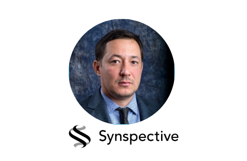
Head of LATAM & Canada at Synspective
Tata Lacale is the Head of LATAM & Canada at Synspective, leading the Go to Market Strategy and execution for Government and Private Clients in Canada and Latin America. Tata is responsible for Sales management (including pre- and post-sales), Marketing and Strategic Engagement with key stakeholders in the aforementioned markets.
Tata Lacale has been working with Synspective since August 2025, and prior to that he worked at Maxar Intelligence for 14 years, also leading the Go to Market team in Latin America and Canada. In his 14 years at Maxar, Tata Lacale has worked with the main public entities of Defense, Intelligence, Mapping and Environment, as well as companies in the areas of Energy, Oil & Gas, Mining, utilities and other markets in Canada, Mexico, Colombia, Peru, Ecuador, Chile, Argentina and Brazil. Tata Lacale is a geographer from the University of Rio de Janeiro, with a master's degree in Geoinformatics from ITC-Twente University, Netherlands. Tata Lacale has been working in the geospatial industry for more than 24 years and, before that, he also served as an officer in the Brazilian Army.
Tata Lacale
Head of LATAM & Canada - Syncspective
In his presentation, “Seeing Through the Clouds: High-Resolution SAR for Suriname”, Tata will show how Synthetic Aperture Radar (SAR) satellites monitor land, rivers and infrastructure day and night, through cloud cover and rainforest canopy. Discover how high-resolution SAR data helps governments detect illegal mining and logging, track land-use change and monitor critical assets — turning satellite imagery into timely, actionable intelligence.
Clyde Griffith
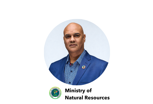
Policy Advisor at the Ministry of Natural Resources
Clyde Griffith is a seasoned professional with extensive experience in the oil, gas, mining and logistics sectors, complemented by academic contributions and leadership roles in Suriname’s extractive sector. Holding an MSc in Petroleum Geology and an MBA in Leadership and Management, he has built a 35-year career spanning technical, governance, and institutional roles. Over 18 years at Staatsolie, Suriname’s state oil company, he managed onshore and offshore exploration, including 2D/3D seismic, magnetometric and gravimetric surveys mapping Suriname’s petroleum potential. He later helped establish the Delfstoffen Autoriteit Suriname, the national mining authority, revising mining legislation and aligning policy with international standards.
Clyde Griffith
Policy Advisor - Ministry of Natural Resources
In his keynote, “Reforming Suriname’s Mining Sector: The Road to DAS”, Clyde will share how the Suriname Competitiveness and Sector Diversification (SCSD) Project is reshaping mining governance — from the Strategic Environmental and Social Assessment (SESA) to the establishment of the Delfstoffen Autoriteit Suriname (DAS) — and why reliable spatial data on concessions and field activity is at the heart of a transparent, well-managed sector.
Geovanny Solera
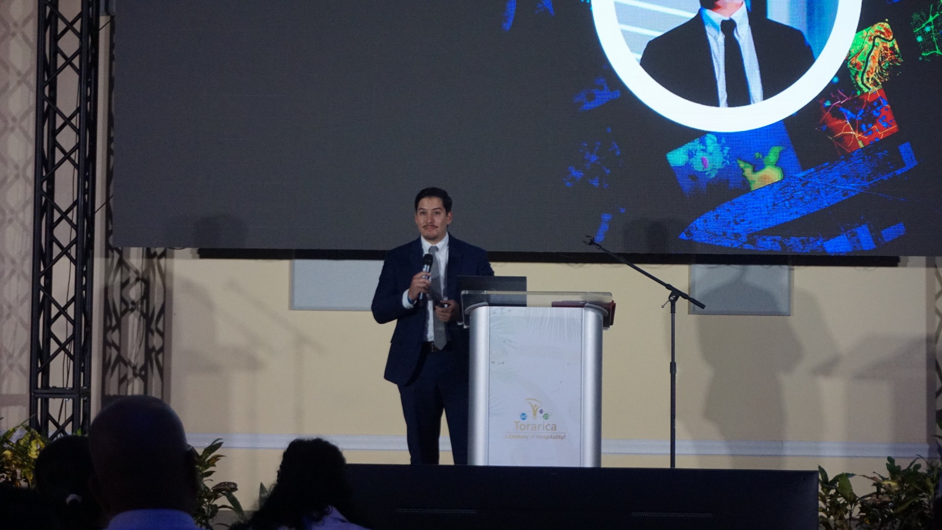
Business Development Manager, Americas at Esri
Geovanny Solera is an experienced geospatial professional with a strong background in helping utilities harness the power of GIS. With expertise in digital transformation, network modeling, and business integration, he has supported organizations in adopting Modern Network Information Management Systems and digital twin technologies to improve efficiency and reliability.

Speaker to be announced soon
FATUM
Lybra specializes in digital transformations by optimizing processes, developing tailored information systems enriched with Location Intelligence and integrated with ArcGIS platform components.
Ir. Stephen T.K.W. Tsang
Surinamese engineer, policymaker, and public servant currently serving as Minister of Public Works and Spatial Planning of the Republic of Suriname.
An aerospace engineer by training, he graduated from the Delft University of Technology in the Netherlands. Mr. Tsang previously served as Minister of Trade, Industry and Tourism and as a Member of the National Assembly of Suriname. Before entering public office, he built an international career in software engineering and technology consulting. Mr. Tsang has been awarded prestigious Surinamese state honors, including Commander in the Honorary Order of the Palm and Grand Officer in the Honorary Order of the Ye low Star, recognizing his contributions to the nation. He is fluent in Dutch, English, and Sranan Tongo, and also speaks Cantonese, Hakka, and Mandarin, with basic knowledge of Spanish
Ir. Stephen T.K.W. Tsang
Minister of Public Works and Spatial Planning of the Republic of Suriname
Minister Tsang leads the ministry that is, more than any other, a ministry of the map: roads, drainage, flood protection, building and subdivision permits, and spatial planning. In his keynote he will set out Suriname’s spatial-planning and infrastructure priorities and the role of shared, reliable spatial data in moving spatial planning from vision to execution. He will also formally receive the spatial results of the GeoGov Suriname initiative on behalf of the Government.
Patrick Loys Brunings
Minister of Oil & Gas of the Republic of Suriname.
Zijne Excellentie Patrick Loys Brunings is sinds 2025 minister van Olie, Gas en Milieu van de Republiek Suriname. Hij brengt meer dan 30 jaar internationale ervaring mee in de energie- en grondstoffensector, met bijzondere expertise in exploratie, productieoptimalisatie, risicomanagement, asset management en groene transitiestrategieën. Minister Brunings behaalde zijn Master of Science in Petroleum Engineering aan de Technische Universiteit Delft, aangevuld met gespecialiseerde opleidingen aan de Universiteit van Austin. Tijdens zijn loopbaan bij Staatsolie N.V. bekleedde hij verschillende sleutelfuncties op het gebied van exploratie en productie van koolwaterstoffen. In deze functies leidde hij multidisciplinaire teams en werkte hij nauw samen met internationale energiebedrijven en dienstverleners. Daarbij was hij belast met de introductie van nieuwe technologieën, nieuwe productie methodieken en het optimaliseren van productie- en bedrijfsprocessen. Verder speelde hij een sleutelrol bij de strategische ontwikkeling van de offshore sector van Suriname. Zijn leiderschapsstijl wordt gekenmerkt door technisch inzicht, internationale oriëntatie, focus op duurzame ontwikkeling, maar vooral ook aandacht voor de factor mens. Als minister van OGM zet hij de verdere ontwikkeling van de olie- en gassector op beleidsniveau voort met daarbij minimale impact op het milieu, een maximale participatie van de beroepsbevolking en het voorkomen van een éénzijdige afhankelijkheid van de olie- en gassector.
Patrick Loys Brunings
Minister of Public Works and Spatial Planning of the Republic of Suriname
Stay tuned for more details!
Geovanny Solera
Business Development Manager, Americas at Esri
Geovanny Solera is an experienced geospatial professional with a strong background in helping utilities harness the power of GIS. With expertise in digital transformation, network modeling, and business integration, he has supported organizations in adopting Modern Network Information Management Systems and digital twin technologies to improve efficiency and reliability.
Speaker to be announced soon
IDB (Inter-American Development Bank)
Lybra specializes in digital transformations by optimizing processes, developing tailored information systems enriched with Location Intelligence and integrated with ArcGIS platform components.
Geovanny Solera
Business Development Manager, Americas at Esri
Geovanny Solera is an experienced geospatial professional with a strong background in helping utilities harness the power of GIS. With expertise in digital transformation, network modeling, and business integration, he has supported organizations in adopting Modern Network Information Management Systems and digital twin technologies to improve efficiency and reliability.
Speaker to be announced soon
IDB (Inter-American Development Bank)
Lybra specializes in digital transformations by optimizing processes, developing tailored information systems enriched with Location Intelligence and integrated with ArcGIS platform components.
Geovanny Solera
Business Development Manager, Americas at Esri
Geovanny Solera is an experienced geospatial professional with a strong background in helping utilities harness the power of GIS. With expertise in digital transformation, network modeling, and business integration, he has supported organizations in adopting Modern Network Information Management Systems and digital twin technologies to improve efficiency and reliability.
Speaker to be announced soon
IDB (Inter-American Development Bank)
Lybra specializes in digital transformations by optimizing processes, developing tailored information systems enriched with Location Intelligence and integrated with ArcGIS platform components.
Technical Session
A Joint presentation exploring the role of GIS and geospatial technology in digital transformation and better decision-making

Krieshen Ramkhelawan


Mark Djojodikromo


Donovan Bogor

In “GeoAI for Suriname’s Forest: From Satellite Imagery to Field Action”, Krieshen joins Mark Djojodikromo and Donovan Bogor of the National Environmental Authority (NMA) to show how geospatial artificial intelligence (GeoAI) is being leveraged to monitor Suriname’s forest. Discover how satellite imagery and AI-driven change detection flag environmental incidents causing loss and damage, track deforestation events, and help the responsible agencies protect the rainforest that covers more than 90% of Suriname, making it one of the most forested countries on earth.
Stef de Ridder
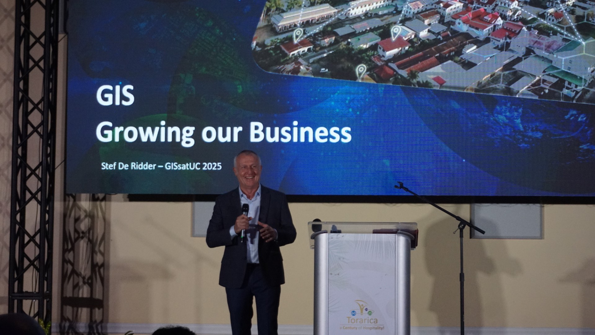
CEO at GISsat N.V.
A pioneer in Suriname's GIS industry for over 30 years. With a background in Engineering, Spatial Planning, and Land Surveying, he has dedicated his career to building the foundation of geospatial innovation in the region. His early work at Anton de Kom University in the 1990s shaped Suriname's vibrant GIS ecosystem.
Stef de Ridder
CEO at GISsat N.V.
In his keynote, “GIS – Driving Business in Suriname.”, Stef will explore how geospatial technology is evolving beyond mapping into intelligent systems that drive decision-making to grow our business and to boost national development.
Krieshen Ramkhelawan
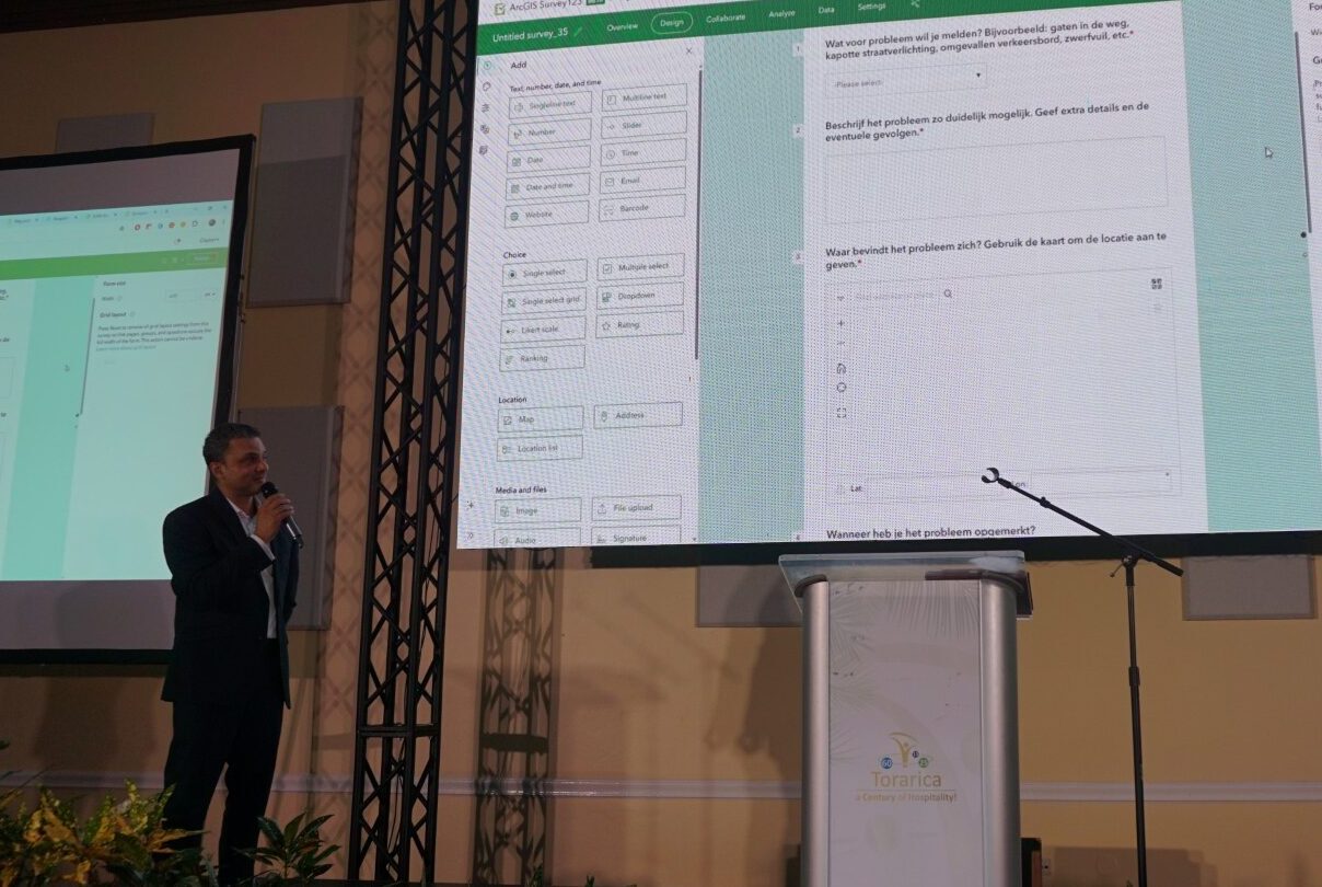
Managing Director at GISsat N.V.
Brings nearly 25 years of experience driving digital transformation across government and industry. He has modernised land administration, public cadastre, and social protection systems in Suriname, guiding organisations to successfully integrate GIS technology into their operations.

Krieshen Ramkhelawan
Managing Director at GISsat N.V.
In his keynote, “GIS in a Flash: Highlights of Geospatial Innovation in Suriname”, Krieshen will showcase the latest developments shaping Suriname’s geospatial landscape and how these innovations empower both public and private organizations.
Geovanny Solera
Business Development Manager, Americas at Esri
Geovanny Solera is an experienced geospatial professional with a strong background in helping utilities harness the power of GIS. With expertise in digital transformation, network modeling, and business integration, he has supported organizations in adopting Modern Network Information Management Systems and digital twin technologies to improve efficiency and reliability.

Geovanny Solera
Business Development Manager, Americas at Esri
In his presentation, “GIS for Infrastructure & Utilities”, Geovanny will share how utilities can move beyond traditional mapping towards intelligent, network-aware systems that drive smarter decision-making.
Sheetal Sujan
Director at Lybra Training, Coaching & Consulting NV - Esri Partner
Lybra specializes in digital transformations by optimizing processes, developing tailored information systems enriched with Location Intelligence and integrated with ArcGIS platform components. In addition to its technological focus, Lybra is dedicated to people transformations, helping organizations build resilient, high-performing teams and fostering positive workplace cultures. Our comprehensive approach includes leadership development, emotional intelligence, productivity management, and communication training, empowering individuals to adapt and thrive in evolving work environments.Sheetal Sujan is a pivotal project team member and the strategic leader behind Lybra Training, Coaching & Consulting. Her extensive global experience—ranging from the vibrant culture of the Philippines, through the academic rigor of Miami, to the tranquil beauty of Suriname—enriches her leadership and strategic contributions to our projects. At Lybra, Sheetal leverages her passion for leadership development and her keen understanding of organizational dynamics to drive people and digital transformations, enhancing organizational capacities through both innovative technologies and effective, people-centered strategies.
Sheetal Sujan
Director at Lybra Training, Coaching & Consulting NV - Esri Partner
Lybra specializes in digital transformations by optimizing processes, developing tailored information systems enriched with Location Intelligence and integrated with ArcGIS platform components.
Krieshen Ramkhelawan
Managing Director at GISsat N.V.
In his keynote, “GIS in a Flash: Highlights of Geospatial Innovation in Suriname”, Krieshen will showcase the latest developments shaping Suriname’s geospatial landscape and how these innovations empower both public and private organizations.
Geovanny Solera
Business Development Manager, Americas at Esri
In his presentation, “GIS for Infrastructure & Utilities”, Geovanny will share how utilities can move beyond traditional mapping towards intelligent, network-aware systems that drive smarter decision-making.
Register for This Event
Secure your spot at Suriname’s largest GIS conference. Early bird pricing is available for a limited time.
Non-GISsat Clients
Valid until 4 November 2026-
Full conference access
-
Special Interest Group sessions
-
TechExpo demos & sessions
-
Showcase Expo Island
-
Panel Discussion & Q&A
-
Networking & Closure
-
Coffee, tea & snack break
GISsat Clients
Exclusive extra pass pricing for existing GISsat clients-
Full conference access
-
Special Interest Group sessions
-
TechExpo demos & sessions
-
Showcase Expo Island
-
Panel Discussion & Q&A
-
Networking & Closure
-
Coffee, tea & snack break
Non-GISsat Clients
Valid until 4 November 2026-
Full conference access
-
Special Interest Group sessions
-
TechExpo demos & sessions
-
Showcase Expo Island
-
Panel Discussion & Q&A
-
Networking & Closure
-
Coffee, tea & snack break
Use – / + to set quantity, then click Purchase.
GISsat Clients
Exclusive extra pass pricing for existing GISsat clients-
Full conference access
-
Special Interest Group sessions
-
TechExpo demos & sessions
-
Showcase Expo Island
-
Panel Discussion & Q&A
-
Networking & Closure
-
Coffee, tea & snack break
Please use your client discount code at checkout.
Buying for colleagues? Adjust quantity below.
Use – / + to set quantity, then click Purchase.
Digital Swag Bag
Take a piece of UC 2026 home: free colouring pages, wallpapers, avatars and a desk stretch break, ready to download and share.

Colouring pages
6

Wallpapers
8
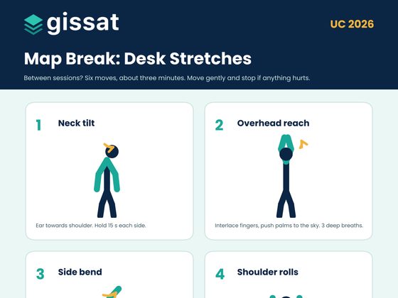
Stretch break
1

Avatar
6
Tech Expo Area showcasing GIS & Digital Twins
Secure your spot at Suriname’s largest GIS conference. Early bird pricing is available for a limited time.

GISsat User Conference 2025 — Watch the Recap
Relive the highlights from last year’s conference and see what to expect this December.
< Back to GISsat website
Ready to Join Suriname's Largest GIS Event?
Seats are limited. Register today for GISsat UC 2026 — December 1st
at Royal Ballroom Torarica, Paramaribo.